
خريطة
Kazure, sheet 35 & 15 Nigeria 1:100,000 / Produced and published by Federal Surveys, Nigeria, 1972. ; Kazure, Jigawa State, Nigeria 1972
| العنوان: | Kazure, sheet 35 & 15 Nigeria 1:100,000 / Produced and published by Federal Surveys, Nigeria, 1972. ; Kazure, Jigawa State, Nigeria 1972 |
|---|---|
| المؤلفون: | Nigeria. Federal Surveys |
| بيانات النشر: | Federal Surveys |
| سنة النشر: | 1972 |
| المجموعة: | University of Wisconsin, Milwaukee: UWM Libraries Digital Collections |
| مصطلحات موضوعية: | Nigeria -- Maps, Jigawa State (Nigeria) -- Maps, Katsina (Nigeria : Province) -- Maps |
| جغرافية الموضوع: | Africa, Nigeria, Jigawa state, Katsina state, West Africa |
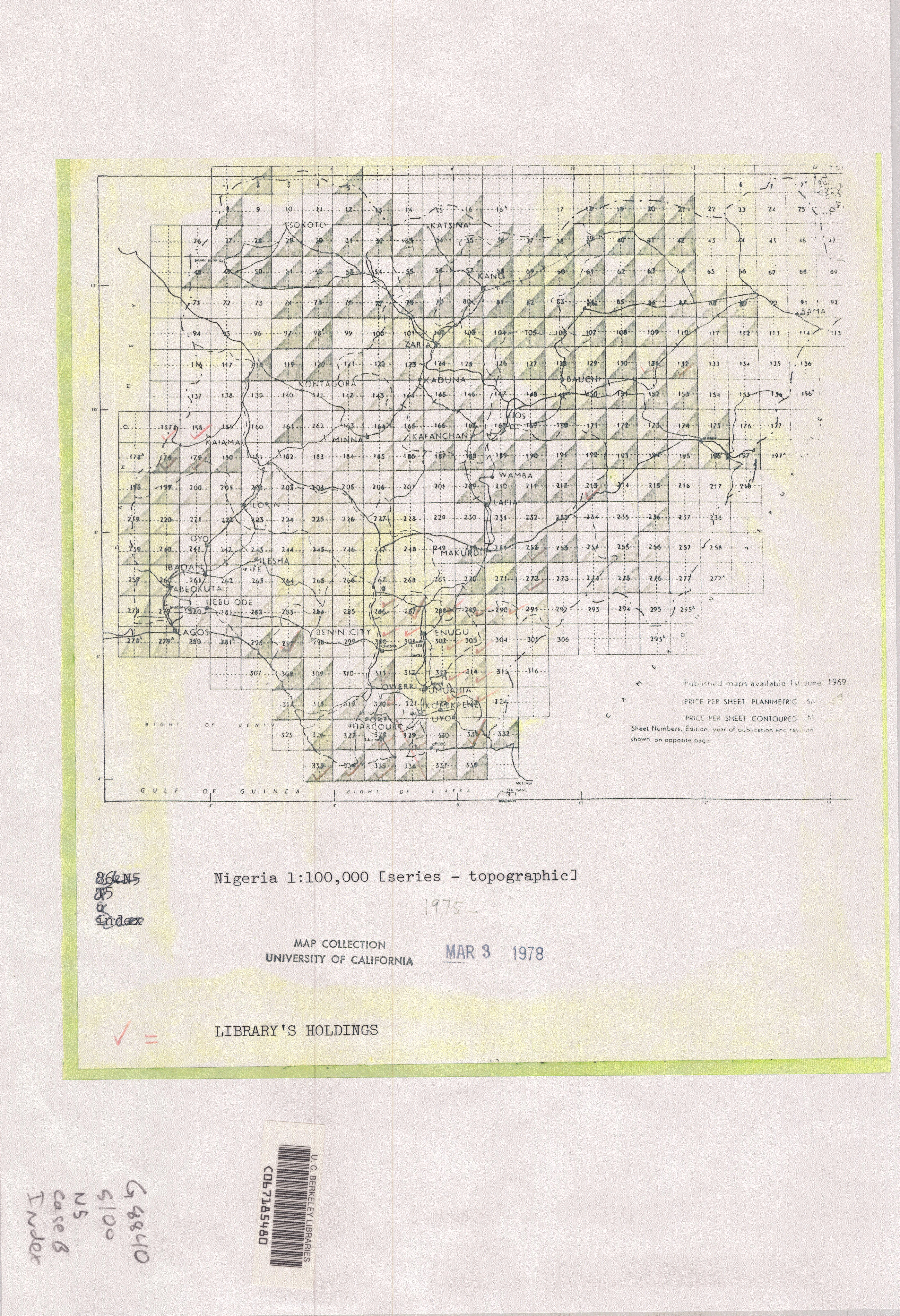
| الوصف: | Edition 1 ; "Compiled and drawn by Federal Surveys, Nigeria 1972 from photo reduction of 1:50:000 Sheets 35 N.W., N.E., S.W. and S.E." Relief shown by contours, hachures, form lines and spot heights. Contour interval is 100 feet. Shows grid, roads, railways, boundaries, vegetation, cultural features, and other details. Shows reference benchmarks, photogrammetric control, and trigonometric stations. Includes legend, magnetic north diaagram, index to adjoining sheets, reliability diagram, and sheet history. Some sheets include coordinate and measurement unit information, boundary diagram, and boundary note. Index from University of California, map collection.: http://www.lib.berkeley.edu/EART/indexes/G8840_s100_n5_index.jpgTest ; 1:100,000 |
| نوع الوثيقة: | map still image |
| وصف الملف: | image/tif; Image/jp2 |
| اللغة: | English |
| العلاقة: | American Geographical Society Library - Maps; American Geographical Society Library, University of Wisconsin-Milwaukee Libraries; American Geographical Society Library Digital Map Collection; 334-b A-1:100,000; am003422; http://collections.lib.uwm.edu/cdm/ref/collection/agdm/id/25168Test |
| الإتاحة: | http://collections.lib.uwm.edu/cdm/ref/collection/agdm/id/25168Test |
| حقوق: | https://uwm.edu/libraries/digital-collections/copyright-digcollTest/ |
| رقم الانضمام: | edsbas.56A0E415 |
| قاعدة البيانات: | BASE |
| الوصف غير متاح. |